

![]()
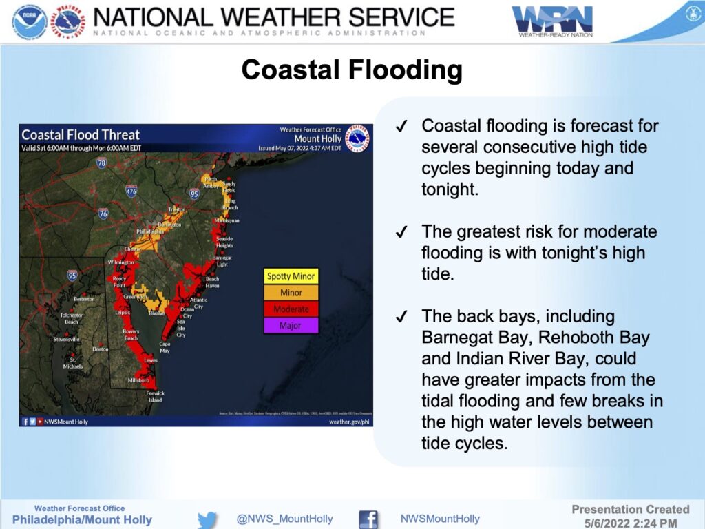
The National Weather Service has issued new warnings related to this weekend’s coastal storm. A Coastal Flood Warning remains in effect for the potential of moderate tidal flooding over the next few tide cycles, along with a High Wind Warning with gusty winds approaching 60mph.
Be aware of the potential for tidal flooding. Tidal flooding is a temporary condition, but can put salt water onto streets and roadways that can damage vehicles, and make driving impossible during times of high tide. If you live in a flood prone area of Avalon, move your vehicle to another part of the island where tidal flooding is less severe. Avalon has created a flood risk guidance map to help you with best decisions, noted below.
The most serious tidal flooding may occur during the overnight high tide, which will occur at 1:37am Sunday. High tide will also occur on Saturday at 1:34pm, and again Sunday at 2:35pm. Do not drive on a flooded street as this puts your vehicle and your life at risk, and creates a wake that can damage property. Secure any outdoor objects. Be mindful that bulk trash collection begins Monday; if you haven’t done so already, please place bulk trash at the curb Sunday afternoon as curbside trash is subject to tidal flooding. If you have any emergency, dial 911. If you experience a power outage, contact Atlantic City Electric directly at 1-800-833-7476.
Please be aware select beach paths in the north end of Avalon are closed due to erosion which will be made worse by this weekend’s storm. Be aware that Avalon Police may close the road leading to the Townsend’s Inlet Bridge due to unsafe conditions at any time.
